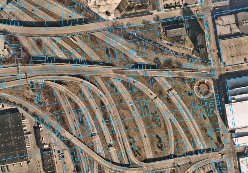
Property boundaries overlaid with satellite imagery. Data Source: CAGIS (Cincinnati Area Geographic Information System) 2022.
Property boundaries overlaid with satellite imagery. Data Source: CAGIS (Cincinnati Area Geographic Information System) 2022.